Satellite, climate and other geospatial data for developers of information products. Using the highest quality source satellite data. We remove the clouds so you don’t have to!
Satellite Data
-
 Select options This product has multiple variants. The options may be chosen on the product page
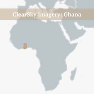
ClearSky Imagery – Ghana
Price range: £600 through £4,000 excl. TAX -
Select options This product has multiple variants. The options may be chosen on the product page
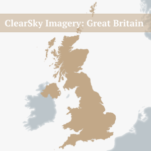
ClearSky Imagery – Great Britain
Price range: £600 through £4,000 excl. TAX -
Select options This product has multiple variants. The options may be chosen on the product page
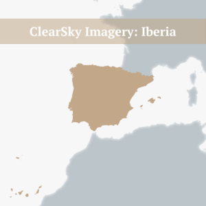
ClearSky Imagery – Iberia
Price range: £600 through £4,000 excl. TAX -
Select options This product has multiple variants. The options may be chosen on the product page
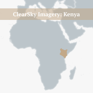
ClearSky Imagery – Kenya
Price range: £600 through £4,000 excl. TAX -
Select options This product has multiple variants. The options may be chosen on the product page
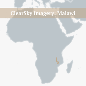
ClearSky Imagery – Malawi
Price range: £300 through £2,000 excl. TAX -
Select options This product has multiple variants. The options may be chosen on the product page
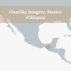
ClearSky Imagery – Mexico (Chiapas)
Price range: £750 through £5,000 excl. TAX -
Select options This product has multiple variants. The options may be chosen on the product page
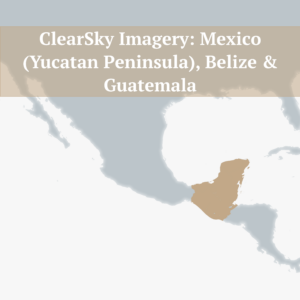
ClearSky Imagery – Mexico (Yucatan Peninsula), Belize & Guatemala
Price range: £750 through £5,000 excl. TAX -
Select options This product has multiple variants. The options may be chosen on the product page
ClearSky Imagery – Zambia
Price range: £750 through £5,000 excl. TAX -
England – Map Viewer
£300 excl. TAX -
Scotland (including islands) – Map Viewer
£300 excl. TAX