OptiView removes clouds from satellite imagery by algorithmically analysing reflectance over the temporal and spectral dimensions of the Sentinel 2 constellation to create a composite image without the cloud cover.
Optiview
-
England – Map Viewer
£300 excl. TAX -
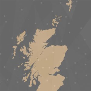
Scotland (including islands) – Map Viewer
£300 excl. TAX